RECENT PROJECTS
Croscombe, Somerset
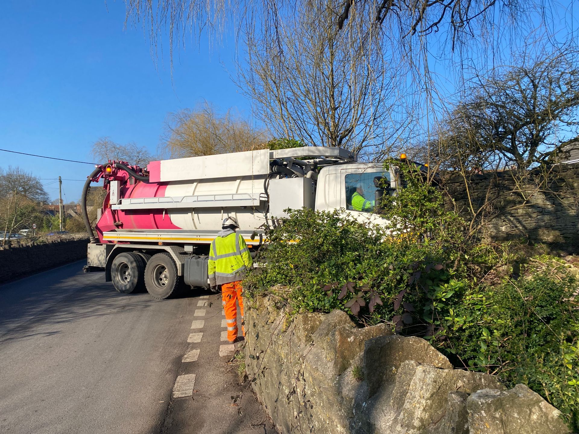
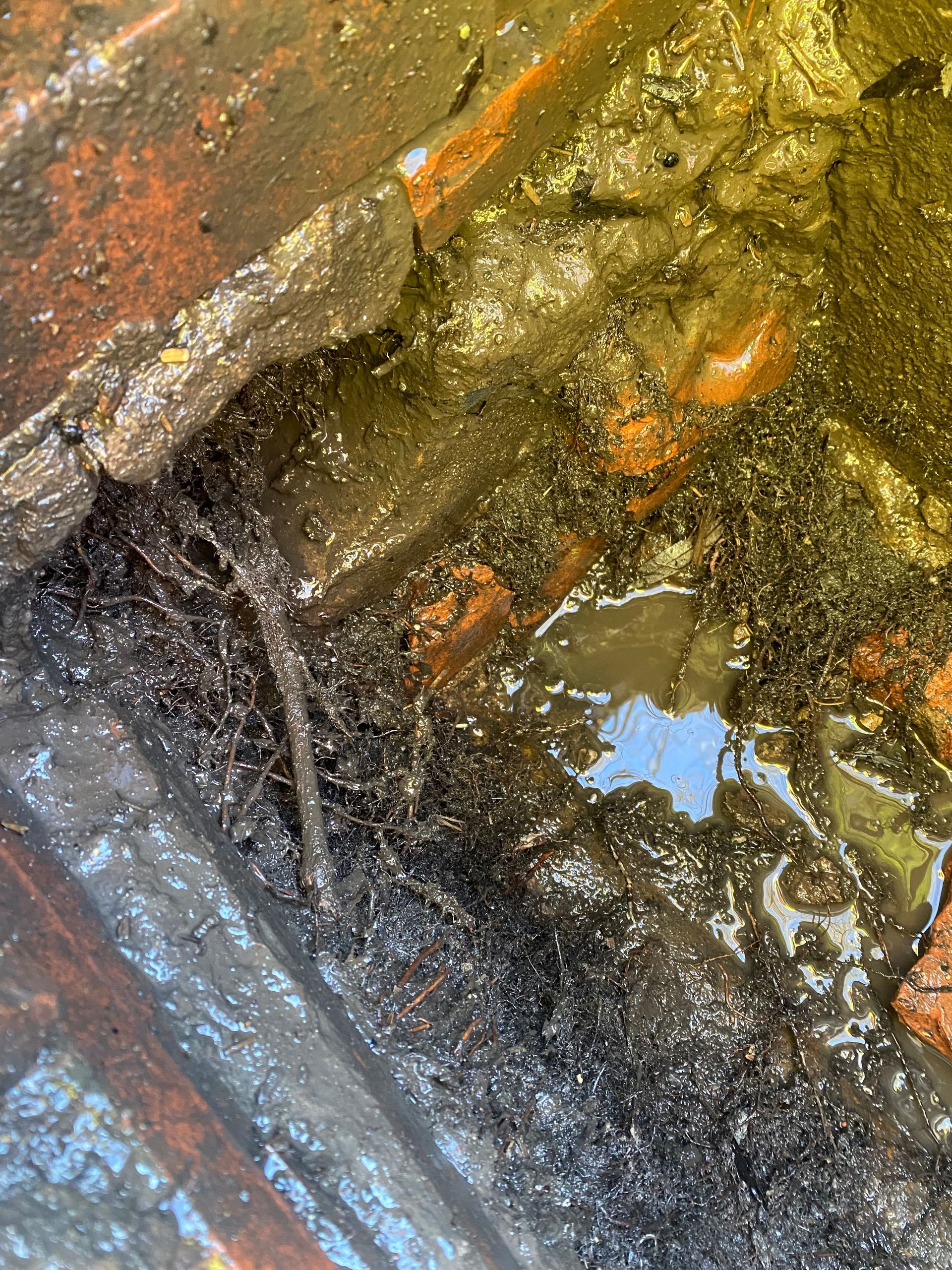
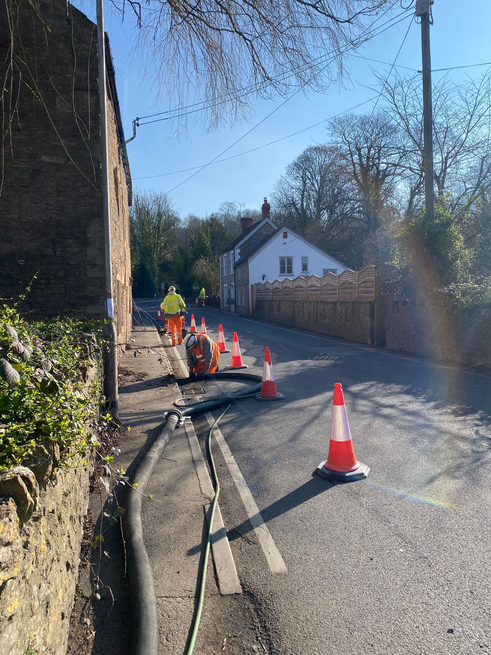
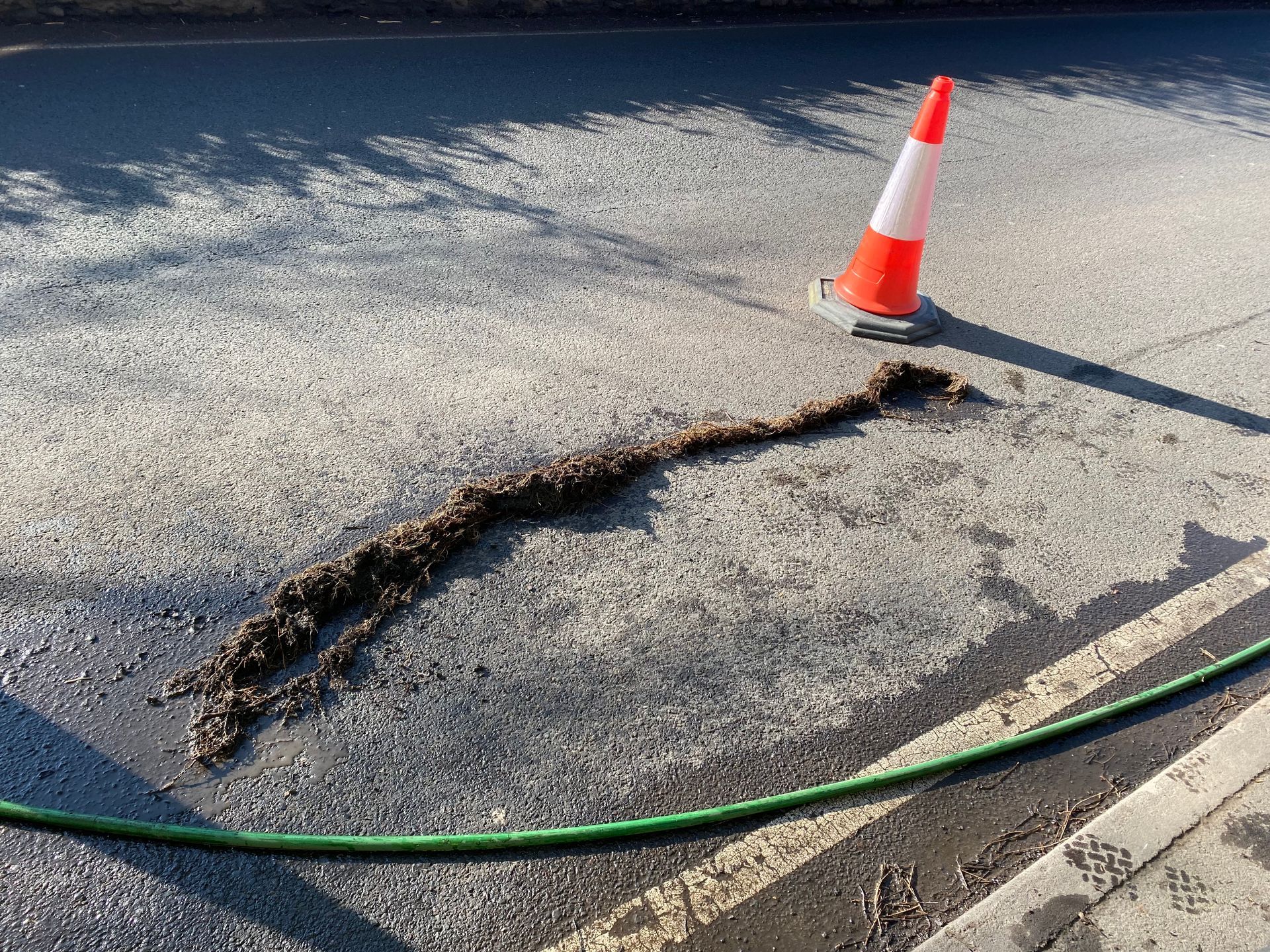
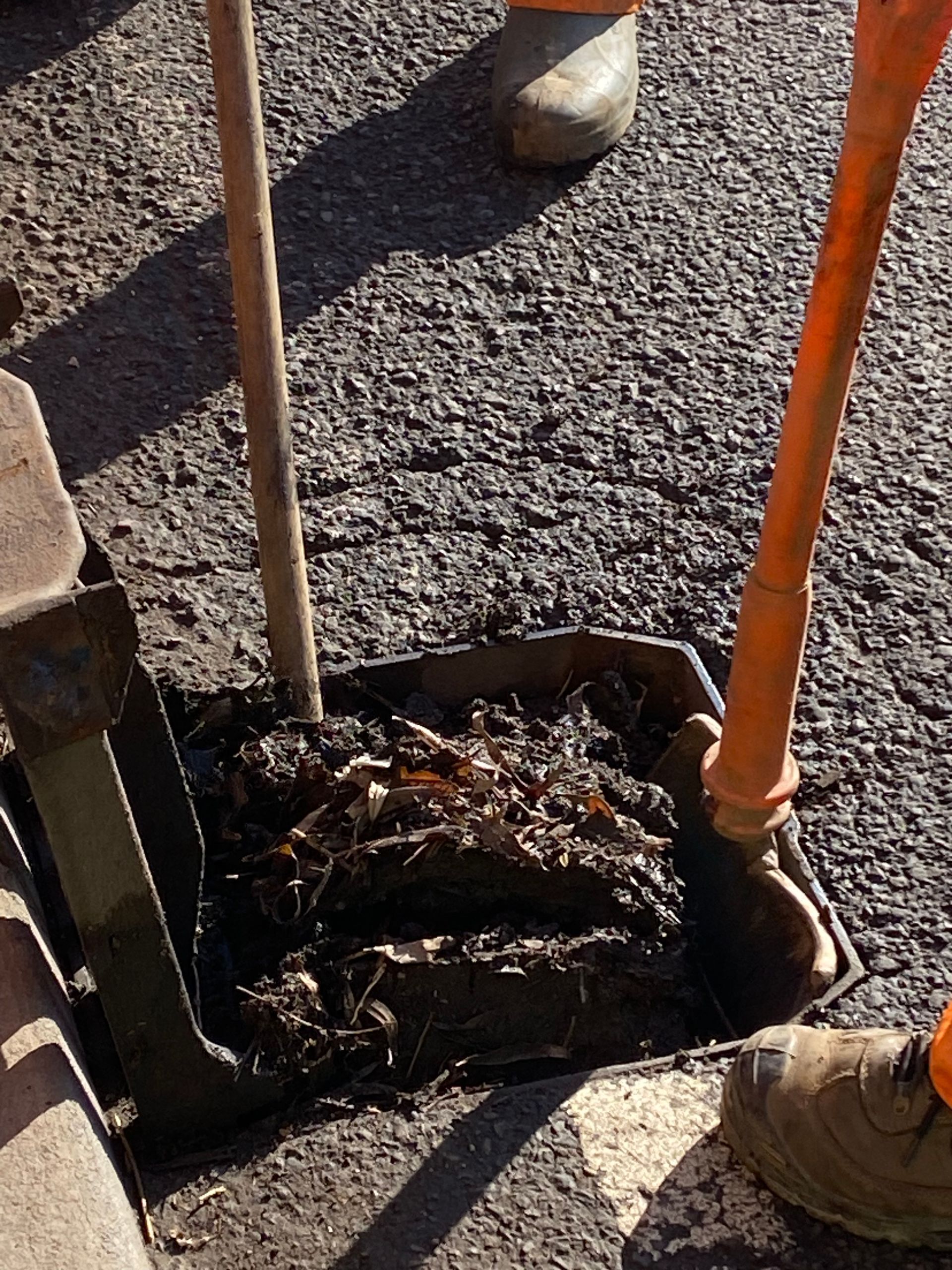
Delivered as part of the 2022/23 Mendip Enhanced Maintenance Programme, funded by the Somerset Rivers Authority, the project was to CCTV and clear local drainage systems following flooding in the area. Considerable debris washed down from the catchment blocking gullies and drains, further exacerbated by invasive willow roots. This was contributing to localised property flooding.
Rheos provided project management services, liaising with the tree officer, Highways department, residents, and procuring drainage and traffic management contractors to ensure the safe delivery of these works in a challenging road environment. Debris including bricks, roots and compacted leaf matter and silts were cleared within the drainage network. The system was CCTV surveyed to the point of outfall, identifying repairs and informing future improvement recommendations.

Walton, Somerset
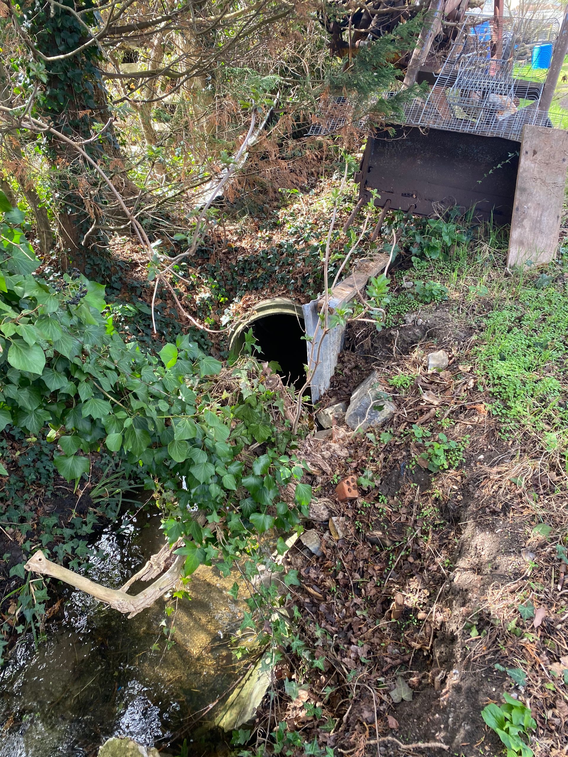
Delivered using Somerset Council and Somerset Rivers Authority funding, the project was to CCTV a culverted watercourse, to enable an asset condition assessment and to support ordinary watercourse mapping improvements in the area. The project was complex as the culverted watercourse ran within a number of property boundaries with limited access.
Rheos provided project management and community engagement services by liaising with residents on behalf of the local authority ahead of the CCTV survey work, and undertook pre-works site surveys to identify potential constraints, points of access and outfall, and to obtain relevant permissions from property and land owners. Rheos set the scope of works and procured the CCTV contractor and provide light-touch site supervision to ensure the smooth running of the project.

North Moor Project
- Natural England, Somerset
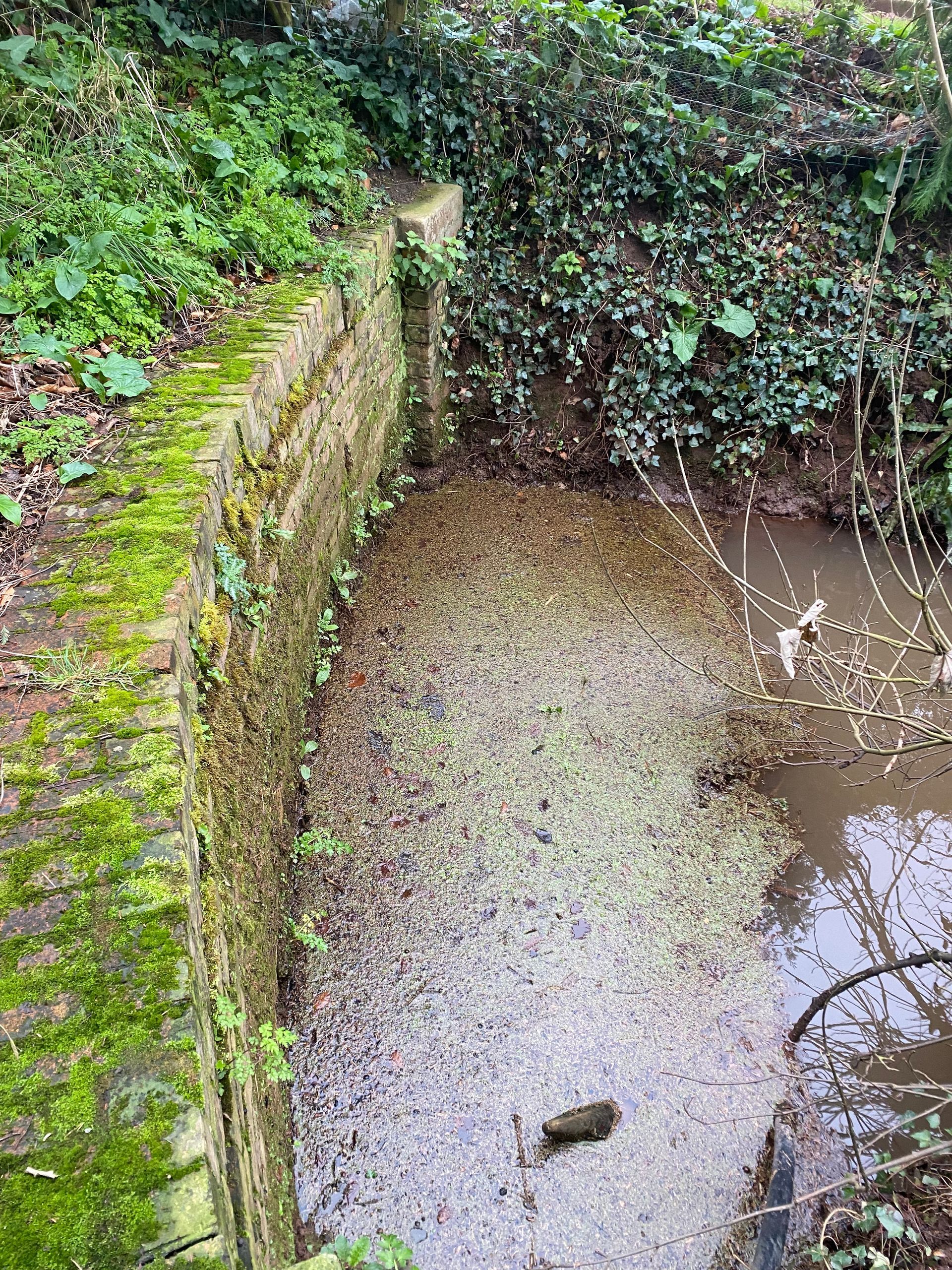
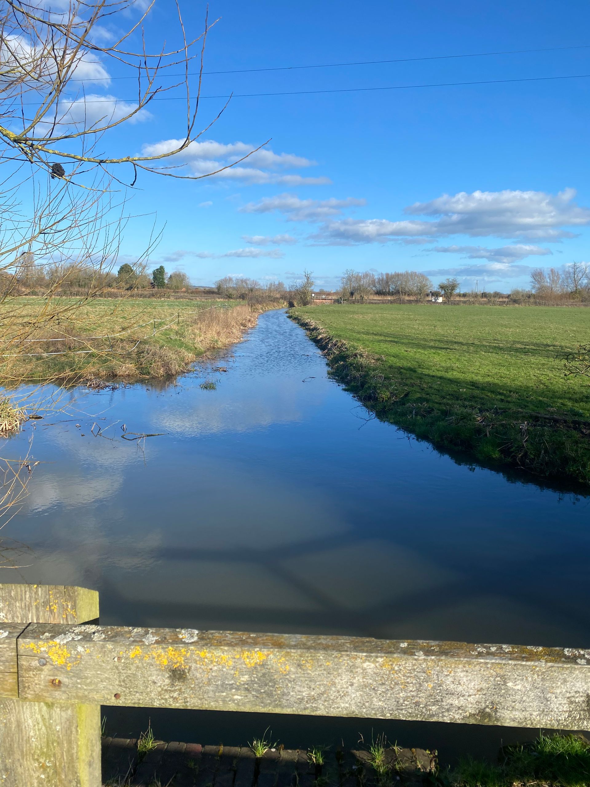
North Moor is within the Somerset Coast, Levels and Moors Nature Recovery Project Area, adjacent to the Somerset Wetlands NNR and within the Somerset Levels and Moors, one of the largest remaining wetlands in England. There is the scope to make significant ecological and hydrological improvements to the land, however, a clear baseline of the condition of the hydrological assets within the moor and how current systems operate is required.
Rheos provided survey and GIS services to support the project, undertaking a series of non invasive inspections to identify and map the direction of surface water flow within North Moor SSSI, and identify key inflow and outflow assets for condition assessment.

Flood Risk Activity Permit (FRAP) - Beer, Devon
Flood risk activity permits (FRAP) are part of wider environmental permitting requirements issued by the Environment Agency. They are required for a range of activities within and close to Main River channels, and seek to ensure appropriate measures are put in place to protect the environment, ensure the site is managed safely, and that proposed works do not increase the risk of flooding.
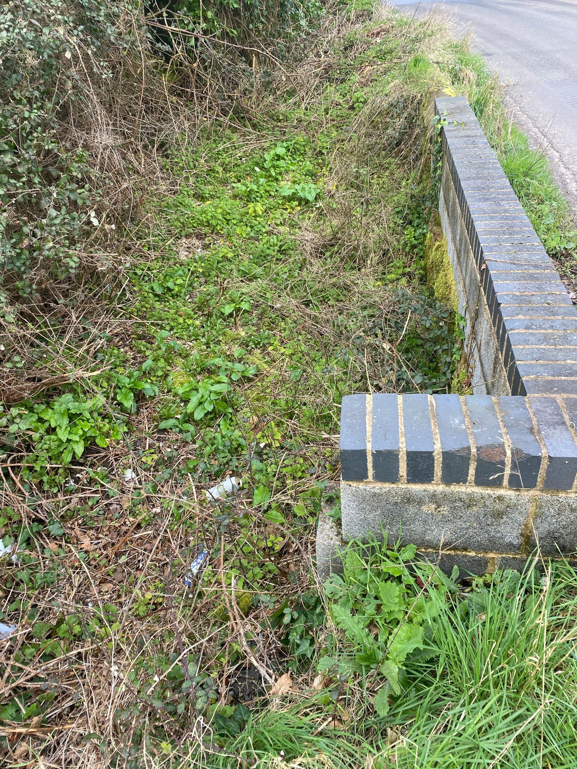
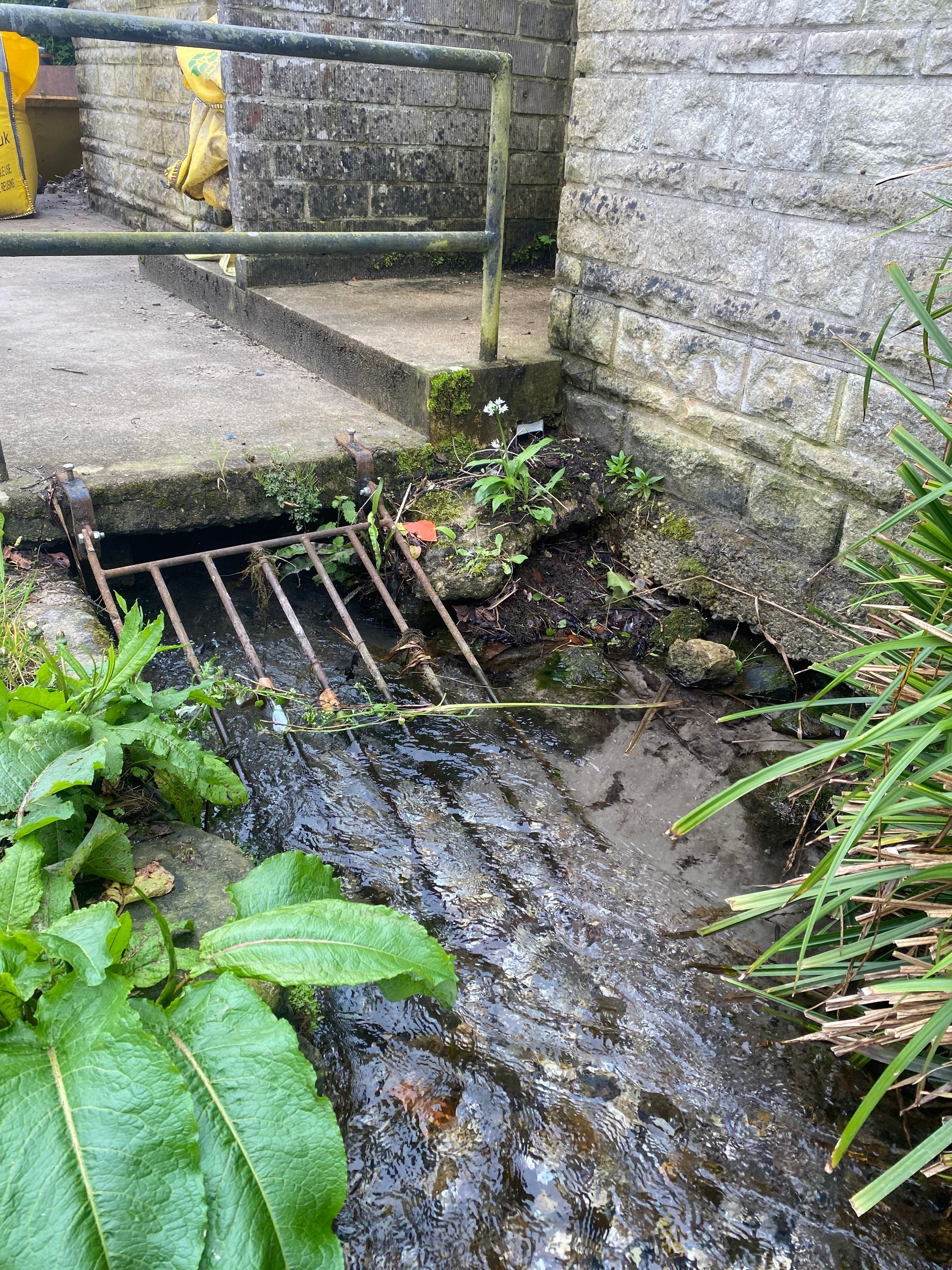
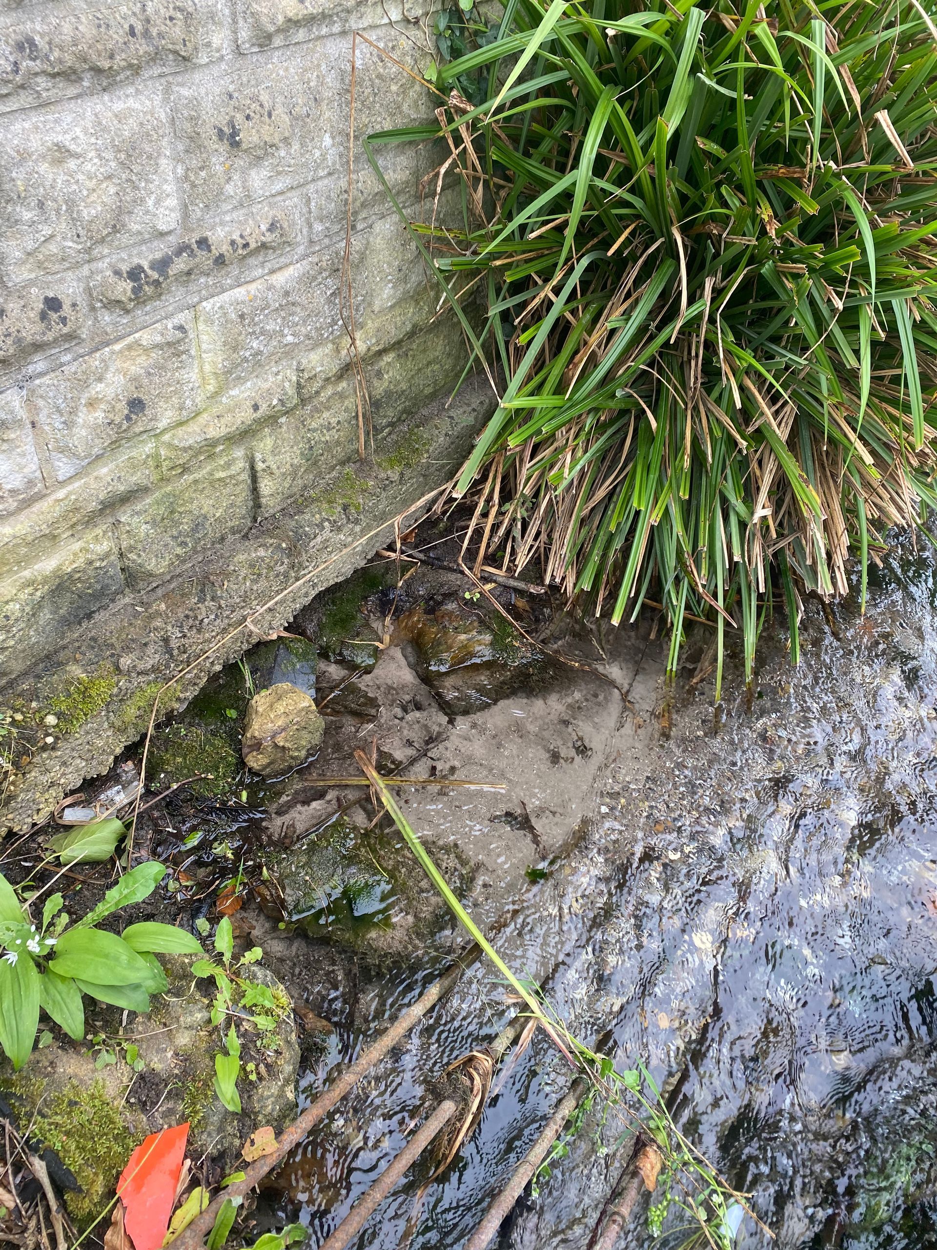
Rheos was commissioned by a local developer to undertake FRAP application for construction works associated with the conversion of former public toilet building to holiday accommodation, The site lies immediately upstream of a culverted section of the Beer Stream - a designated main river. The constraints of both the open stream, culvert entrance and adjacent highway created challenges to managing the site during construction - particularly the management and storage of materials and potential pollutants. The watercourse was starting to undercut the building and undermine the effectiveness of the trash screen. A comprehensive management system was developed to address concerns in the Environment Agency's pre-application advice, and Rheos worked with the client and architect to develop a robust and pragmatic approach to protecting the building and the culvert. Consequently the site was successful in obtaining the FRAP to enable works to commence.


